The gem and centerpiece of the Jesus Atlas are its beautiful, full color maps and illustrations, but it also has two other supporting pieces. Together, these four parts make up the heart of the project:
- A complete harmony of the four gospels is where the project starts. Wilson divided Jesus’ life into 8 large sections, with a detailed chronological list of events in each section, mapping every verse of the gospels into a coherent outline of Jesus’ story.
- A set of 212 illustrations and captions, one for each event in the gospel harmony. Each illustration depicts an iconic or dramatic moment, as envisioned by Wilson Blackwelder, with reference to real places and topography in the Holy Land, hand drawn by Israeli artist Hayim Otsarya
- A set of 32 interactive, elevation maps in bright, appealing colors. Each map clearly marks a journey Jesus undertook and sets aside spots for the illustrations that go with that trip. Locations of each event are identified based on geography, and archeological evidence for first century towns. Together with the illustrations printed on separate cards, the maps allow students of Jesus’ life to challenge themselves to match each event to its geographical location.
- An appendix of commentaries and other data which explain the reasoning behind the order and location shown for all the events depicted in the gospels
People
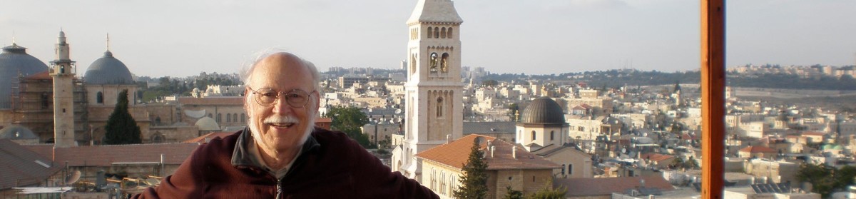
Wilson Blackwelder, author and creator of the Jesus Atlas
Hayim Otsarya, Illustrator